Mulgathing
Located in the Glendambo and Cooper Pedy region and around 120km west of the Stuart Highway, Mulgathing station covers an area larger than Trinidad and Tobago.
Mulgathing
Located in the Glendambo and Cooper Pedy region and around 120km west of the Stuart Highway, Mulgathing station covers an area larger than Trinidad and Tobago.
Manager
Hector Mackenzie
location
Glendambo region, SA
land size
530,700 ha
Day temperatures
40°C through summer. 18°C during winter.
staff
7
stock
30,000 Merino sheep
annual rainfall
175mm
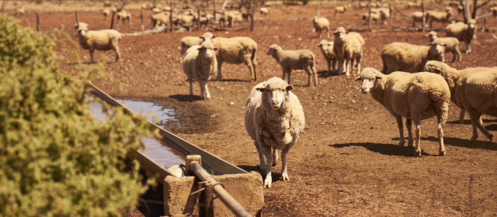
In an average rainfall area of 175mm, Mulgathing is subdivided into 80 paddocks, which are watered by 32 bores and 156km of pipelines that service the numerous water points. The western and southern boundaries are made up of 1.6m high netting fences – forming part of the famous Dog Fence.
The Coober Pedy region is known for being rich in minerals and a long-standing Aboriginal connection. Coober Pedy is often recognised as the opal capital of the world.
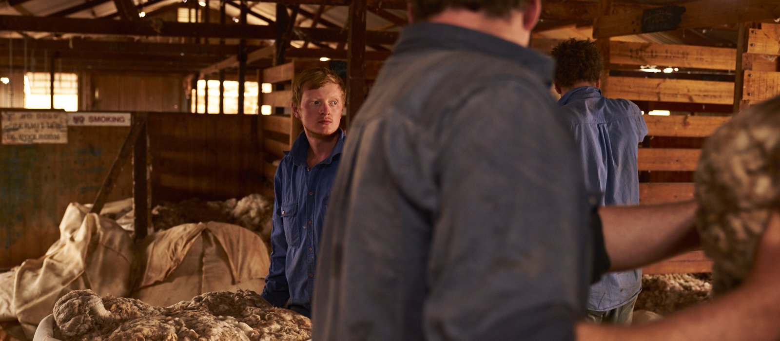
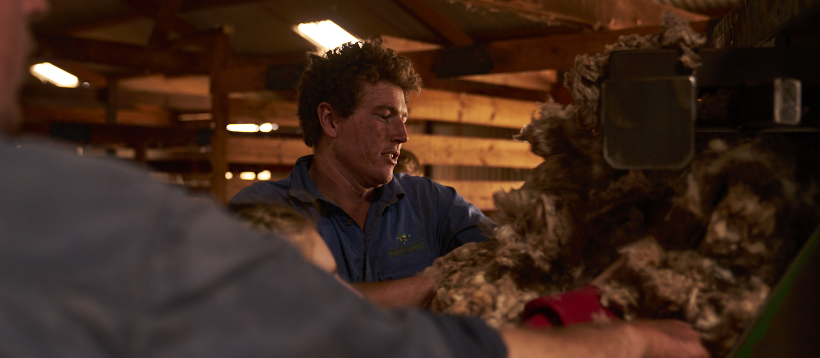
Work on Mulgathing is challenging – producing approximately 800 bales or 152,000kg of wool annually. A Cessna 172 aircraft is used to facilitate mustering using air-to-ground UHF communication with motorcycle musterers.
Like many arid pastoral properties, the key focus is often on maintaining reliable and quality watering infrastructure. It’s social, and a great place to learn about sheep and sustainable land management in an arid climate.
Mulgathing’s proximity to the Stuart Highway encourages participation in social events with neighbouring stations – Bulgunnia, Commonwealth Hill, and Mobella – in Glendambo and Coober Pedy. Key events include:
- Coober Pedy Races
- Glendambo Gymkhana
Mulgathing

![]()